What We Do

Comprehensive Surveying Services

State-of-the-art equipment and experienced professionals delivering precise, timely results across every surveying discipline.

Boundary & Land Title Surveys

Expert resolution of complex land title and ownership issues for developers, attorneys, and property owners.

πŸ“

ALTA Land Title Surveys

Comprehensive ALTA/NSPS surveys meeting current minimum standard detail requirements for land title insurance and transactions.

πŸ“

Boundary Surveys

Precise boundary determination and monumentation. Expert witness services for boundary disputes.

πŸ“‹

Platting & Subdivisions

Metes and bounds subdivisions, platting, and right-of-way maps. Complete subdivision design support for developers.

🏒

Condominium Surveys

Condominium as-built surveys, declarations, and amendments complying with Florida Statute Chapter 718.

Construction & Engineering Surveys

From luxury residential developments to multi-story condominiums, office buildings, and institutional facilities.

πŸ—οΈ

Construction Staking

Layout and staking for buildings, roads, utilities, and site improvements. Continuous support through all construction phases.

πŸ“

Record (As-Built) Surveys

Post-construction as-built surveys documenting final positions of all improvements for permitting and certification.

πŸ—ΊοΈ

Topographic Surveys

Detailed topographic mapping for engineering design, site planning, and environmental assessment.

πŸ›£οΈ

Engineering Route Surveys

Route surveys for roadways, utilities, pipelines, and linear infrastructure projects.

Hydrographic survey area

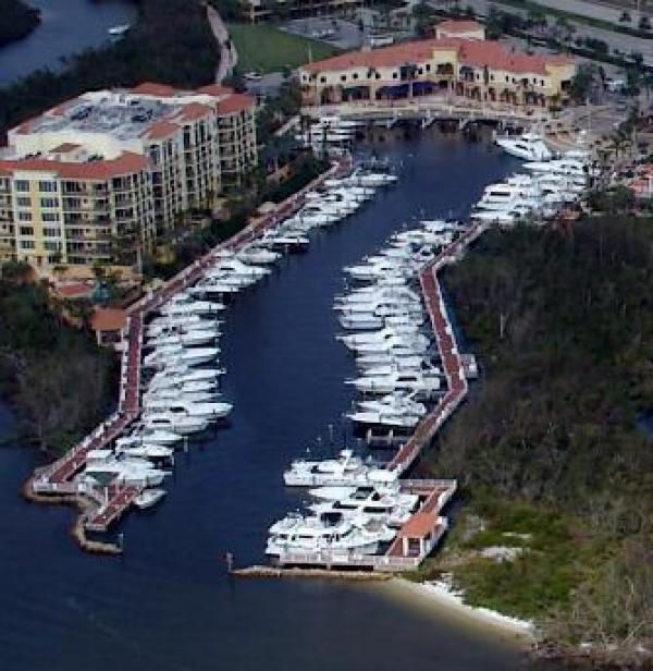
Hydrographic & Bathymetric Surveys

Specialized equipment and expertise for underwater surveying of marina basins, tidal canal systems, the Intracoastal Waterway, rivers, and coastal zones.

Pre-dredge and post-dredge bathymetric surveys with volumetric analysis. Over 24 years of continuous service to the Jupiter Inlet District.

Survey areas include the Atlantic Ocean, Loxahatchee River, Jones Creek, FPL cooling ponds, and discharge channels throughout southeast Florida.

GPS & Mapping Control

Global Positioning System surveys for high-precision control networks. Photogrammetric control for aerial mapping and remote sensing projects.

Volumetric surveys for earthwork quantities, stockpile measurements, and material tracking. Mapping control surveys utilizing the latest GPS and robotic total station technology.

Survey project

Need a Quote for Your Project?

Contact us to discuss scope, timeline, and pricing for your surveying needs.

Request a Quote β†’